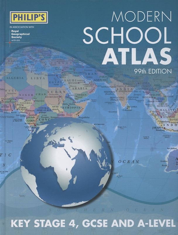
Modern School Atlas 99th Edition
Купил 1 человек
- Переплёт Твёрдый
- Кол-во стр. 184
- Вес 1000 г
- Год издания 2020
Отзывы
Описание и характеристики
A special Remote Sensing section covers such topics as satellite imagery and GIS.
The next section covers the United Kingdom and Ireland in 30 pages. Accompanying the physical maps are thematic maps on numerous key social and economic themes.
The middle section is made up of 74 pages of World topographical maps, incorporating continental thematic maps on topics such as climate, population and economics, followed by 30 pages of World thematic maps.
Completing the atlas is a section of World social and economic statistics, accompanied by the index to the topographical maps in the atlas, showing letter-figure grid references as well as latitude and longitude coordinates.
- Переплёт Твёрдый
- Кол-во стр. 184
- Вес 1000 г
- Год издания 2020
- Издательство
- Размеры в см 1.6x23x29
- ID товара 2826213
- ISBN 978-1-84-907492-6, 978-1-84907-492-6